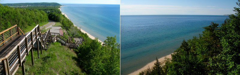
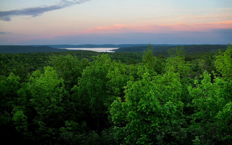
The view from Arcadia Bluffs, the highest point along the Lake Michigan shoreline.
» silver lake dunes
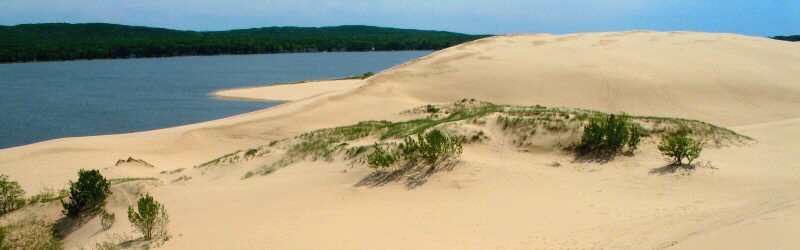
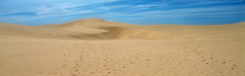
The dunes here cover an area of about 1 mile by 3 miles, separating Silver Lake from Lake Michigan. Vast areas have no vegetation at all, making you feel like you are in the middle of a desert with sand as far as the eye can see.
The dunes here cover an area of about 1 mile by 3 miles, separating Silver Lake from Lake Michigan. Vast areas have no vegetation at all, making you feel like you are in the middle of a desert with sand as far as the eye can see.
Silver Lake.
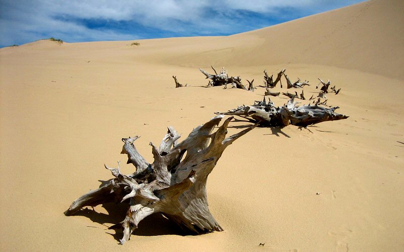
A ghost forest, killed by migrating sand dunes.
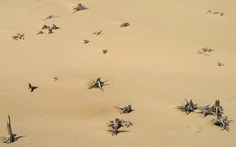
The ghost forest as seen from above.
Well traveled dunes.
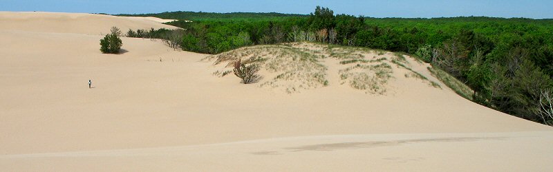
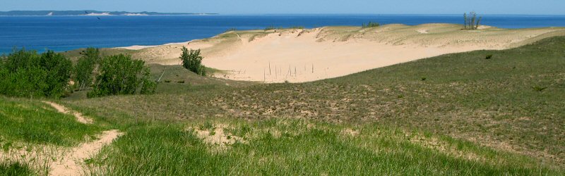
Here you can see the transition from sand dunes to forest.
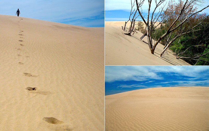
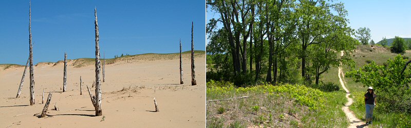
Left: walking the dunes. Top Right: Dunes encroaching on the forest. Bottom Right: Ripples in the sand.
» sleeping bear dunes national lakeshore
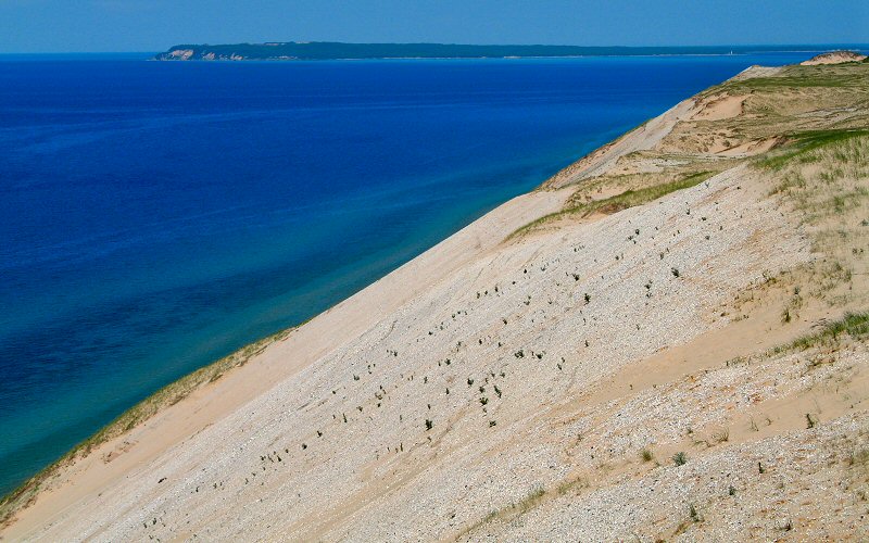
Sleeping Bear Dunes probably offers the most dramatic scenery along the Lake Michigan shoreline. Sand dunes rise steeply from the shore, reaching heights over 450 feet above the lake. In addition to the sand, there are tons of beautiful lakes in the area, along with rivers and rolling forested hills.
Sleeping Bear Dunes probably offers the most dramatic scenery along the Lake Michigan shoreline. Sand dunes rise steeply from the shore, reaching heights over 450 feet above the lake. In addition to the sand, there are tons of beautiful lakes in the area, along with rivers and rolling forested hills.
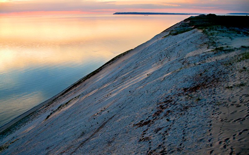
The bluffs at sunset.
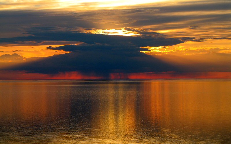
Sunset over Lake Michigan as seen from the Sleeping Bear Bluffs.
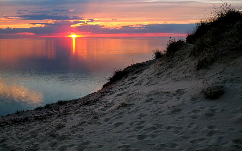
The top of the dunes and the setting sun.
Looking at the treetops and Glen Lake from the dunes.
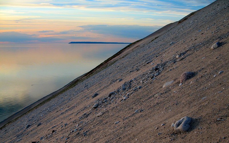
The view from midway down.
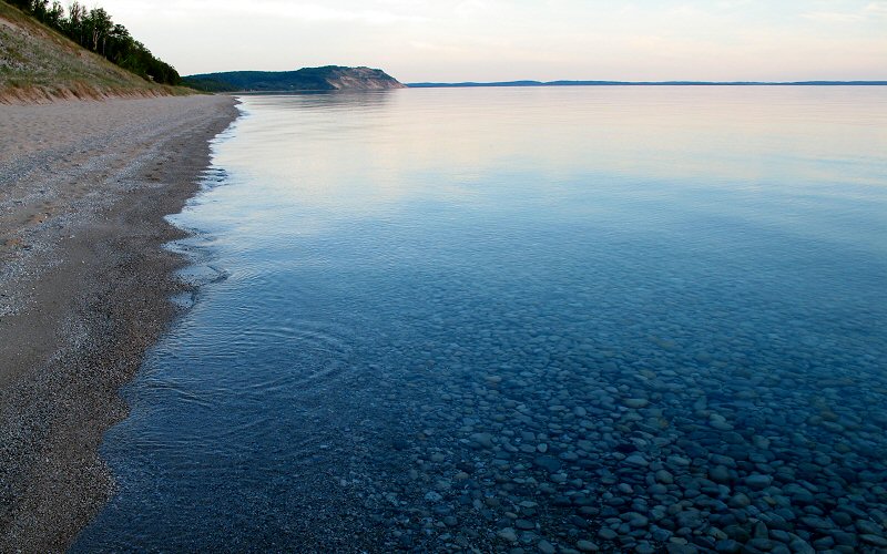
Clear, calm water and Empire Bluffs as seen from the beach below Sleeping Bear Dunes.
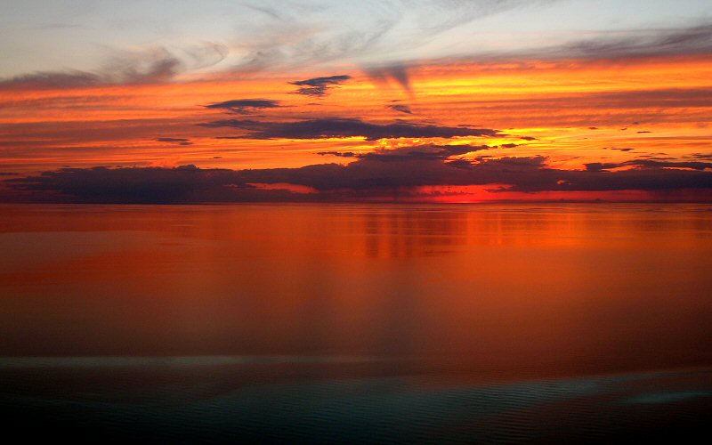
After the sun dropped below the horizon, the water became very orange.
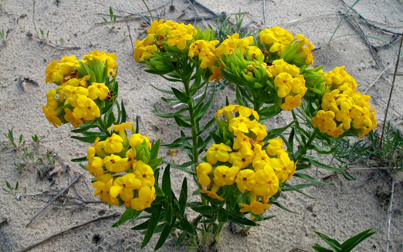
These flowers were common in the sand dunes.
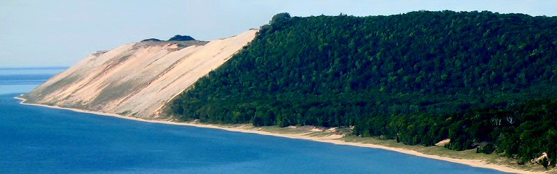
Sleeping Bear Bluffs as seen from Empire Bluffs.
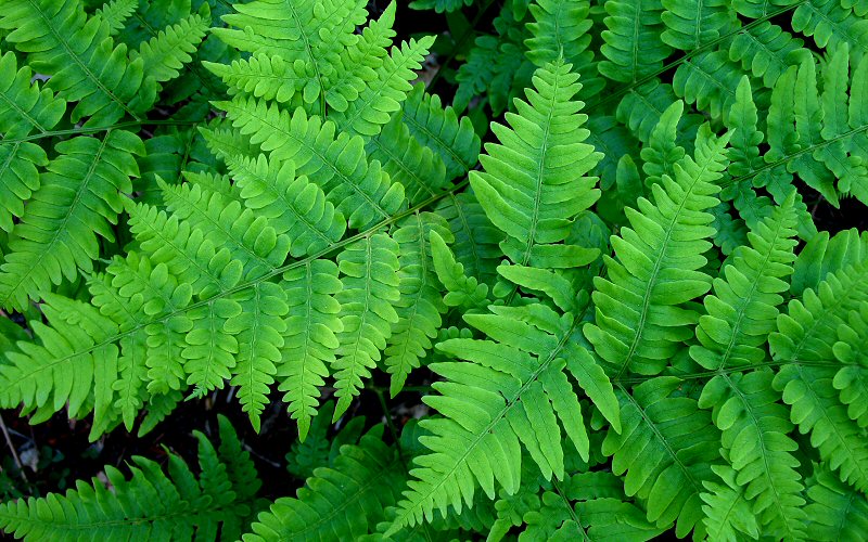
Ferns are common ground cover in the forests.
The bluffs and South Manitou Island.
Dunes along the Dunes Trail.
Left: A ghost forest. Right: along the Dunes Trail.

The southwestern shore of South Manitou Island, where we hiked the day before, as seen from the Dunes Trail.
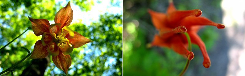
Two views of an interesting wildflower that was common in the woods.
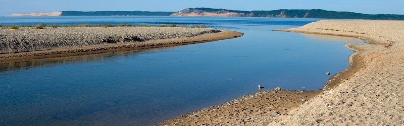
Where the Platte River flows into Lake Michigan. Sleeping Bear Dunes and Empire Bluffs are in the distance.
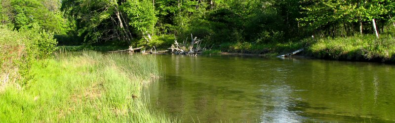
The Platte River, just upstream of where it flows into Lake Michigan.

Crystal clear water at the beach.
» old mission peninsula
Old Mission Peninsula is a narrow 17 mile long strip of land that separates West Grand Traverse Bay from East Grand Traverse Bay. Today it consists of vineyards, orchards, farms, and a lighthouse at the point. After the original inhabitants of the peninsula, Ottawa Indians, relenquished the land to European settlers, a mission was established here to help them adapt to a new way of life, hence the name.
Old Mission Peninsula is a narrow 17 mile long strip of land that separates West Grand Traverse Bay from East Grand Traverse Bay. Today it consists of vineyards, orchards, farms, and a lighthouse at the point. After the original inhabitants of the peninsula, Ottawa Indians, relenquished the land to European settlers, a mission was established here to help them adapt to a new way of life, hence the name.
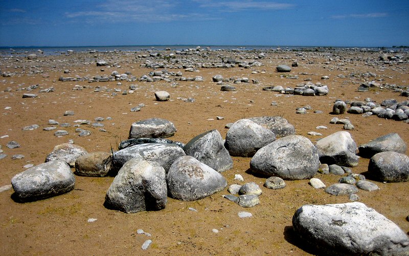
The beach at Old Mission Point.
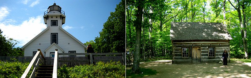
Left: The lighthouse, located halfway between the North Pole and the Equator. Right: A log cabin built in 1856 by pioneers.
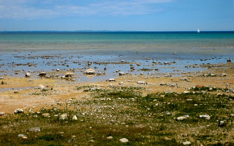
Sailing.
No comments:
Post a Comment